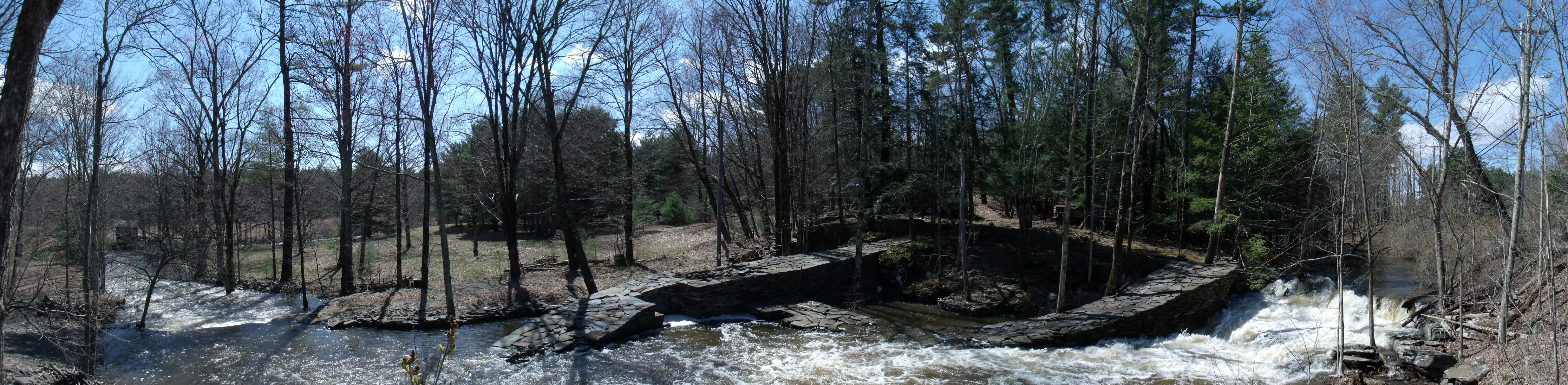
The Great Knot, April 27, 2011

Michael Sullivan Smith, 2015
Click on animation to open parent web site greatknot.com in new browser window
|
This file is taken from a page in the digital History Atlas of Saugerties. The Atlas is in draft and is currently finished for all periods covered by the earliest history publications, up to the early 19th Century. The illustrative map is a line relief drawing of the area of the colonial Kingston Patent and the box text to its left and right describes the competitive agrarian and river transport economies in the first quarter of the nineteenth century before the Erie and Delaware and Hudson canals and the industrialization of Saugerties. This "weblet" introduces this work within a broader series of web products that distribute a portfolio of publications I'm creating to interprete the history of Saugerties. This is a web production of Michael Sullivan Smith. It's distributed free of commercial or government platforms from the Cloud. If you find it informative you may be a patron by visiting the Patreon.com link on this introduction page. There you will find a list of interesting creations such as this to add to your electronic collection.The file burns a lot of bandwidth every time it is pulled down from the cloud. Patrons help me pay for this service so that you can save this file from the cloud into your computer. The PDF from this streaming file can be downloaded to your computer. The only good thing to come out of commercial dominance of the Internet is the power it needed in your personal computer to pull off this dominance. Please use what you have and save energy. Save the PDF to your computer if you're going to study this file. |
The Great Knot, April 27, 2011 Michael Sullivan Smith, 2015 Click on animation to open parent web site greatknot.com in new browser window |