commons keystone

The outline of the map of Saugerties has the appearance of a keystone. Its western border, following the division line between the Kingston Patent of 1687 and the Hardenberg Patent of 1708, uses the 1803 survey for the Kingston Commons' Northwest and Southwest classes and adjacent lots of the Hardenburgh lands up the Catskill escarpment to make this keystone outline.

That keystone look is not what actually makes the shape of this outline a “key”. The orientation of the left bottom right-angle corner in its description as that of a lot of the Kingston Commons is.

The PDF illustrates the expansion of the town as more of the lots are added and its description continues to cite this relationship to the Kingston Commons.

The composition that appears below the PDF discusses how early maps use cues from the Kingston Commons division that prove the locations of lots built out from this key.

This is a web production of Michael Sullivan Smith. It's distributed free of commercial or government platforms from the Cloud. If you find it informative you may be a patron by visiting the Patreon.com link on this introduction page. There you will find a list of interesting creations such as this to add to your electronic collection.
alt :

It appears you don't have a PDF plugin for this browser. No biggie... you can click here to download the PDF file.


The file burns a lot of bandwidth every time it is pulled down from the cloud. Patrons help me pay for this service so that you can save this file from the cloud into your computer. The PDF from this streaming file can be downloaded to your computer. The only good thing to come out of commercial dominance of the Internet is the power it needed in your personal computer to pull off this dominance. Please use what you have and save energy. Save the PDF to your computer if you're going to study this file.

Mapping the Kingston Commons

In the 19th century 90% of the map features recognizable today in the region of the Kingston Commons took form. In 1804 the northern border of the Kingston Commons became the southern boundary of the newly created Greene County. In 1811 the towns of Saugerties and Esopus were separated from Kingston. The erection of Saugerties as a town put a combination of commons lot boundaries and watercourses as borders into the record, demanding a precise placement for these as locations on all future maps.

Because of this, proprietary divisions initiated with the survey for the Kingston Commons are most identifiable in Saugerties. The "2nd", "3rd", "4th", "5th", "6th", "7th", "Southwest" and "Northwest" Classes of this division define the land mass of the town west of the Hoogeberg Ridge on the upper plateau and all of it between the Hudson River and the Esopus Creek from Turkey Point to the mouth of the Esopus.

The "Second" Class includes the territory along the Glasco Turnpike from Mount Marion to near John Joy Road. The "Third" Class is the Fish Creek and Pine Grove areas. The "Fourth" Class includes Veteran and Centerville. The "Fifth" Class takes in Blue Mountain and Quarryville. The "Sixth" Class is everything north of Quarryville between Asbury and Saxton. Saxton, parts of West Saugerties and all of the Blue Mountain Road are in the "Northwest" Class. The "Southwest" Class runs along the entire Saugerties-Woodstock border. The “Seventh” Class and neighboring lots on the west shore of the Esopus Creek covers South Saugerties, Glasco and Flatbush; everything along routes 9W and 32.

The survey for the division of the commons confirms the original places of large pre-revolution farms within its grid and it is the ancient deeds and patents to these early locations that give names like Churchland, Kaatsbaan, Dutch Settlement, Pine Grove, Flatbush, Plattekill, and Blue Mountain to later maps.

With the sale of the Kingston Commons as a grid of 30 and 45 acre lots the land gained topographic features from the stone walls that enclosed them, and roads that followed their boundaries, all running perpendicular to and parallel to the great face of the Catskill Mountains. This permanently set the twenty-two and sixty-six degree orientation for all lots in every class of the Kingston Commons with its relationship forever fixed to what the natives called “the great wall of Maniteau”.

By the time the U. S. Geological Survey was revising its early 1893 topographic maps, turnpikes built in the 1820’s that crossed Saugerties bringing materials from its heart to the Hudson River were already being planned as automobile roads to mountain recreation destinations. But this earliest of geographical maps is a lasting record of a land with a long history of 18th and 19th century habitation.

Much of this land that was once rugged hills and rushing streams had changed over this time. The early industrial revolution factories of Saugerties raised the Esopus behind a great dam in 1826 and by 1889 dredging for their industrial traffic raised the expansive Esopus shoals a mile into the Hudson river for the man-made land that now flanks the channel to the Saugerties lighthouse.

The greatest change resulted from the quarrying of bluestone. Between 1832 when this industry was founded and the early 20th century entire hillsides were chipped away in two-inch-thick slabs for the sidewalks of the major cities of the era. Between the lowering of the hills where the bluestone was quarried and the spreading of the shoreline of the Hudson River with waste from the finishing at the docks the quarrying made changes in the ancient lands of the Kingston Commons that distributed the mass of its long recognizable landscape in a way that the great glaciers had failed to achieve eons before.


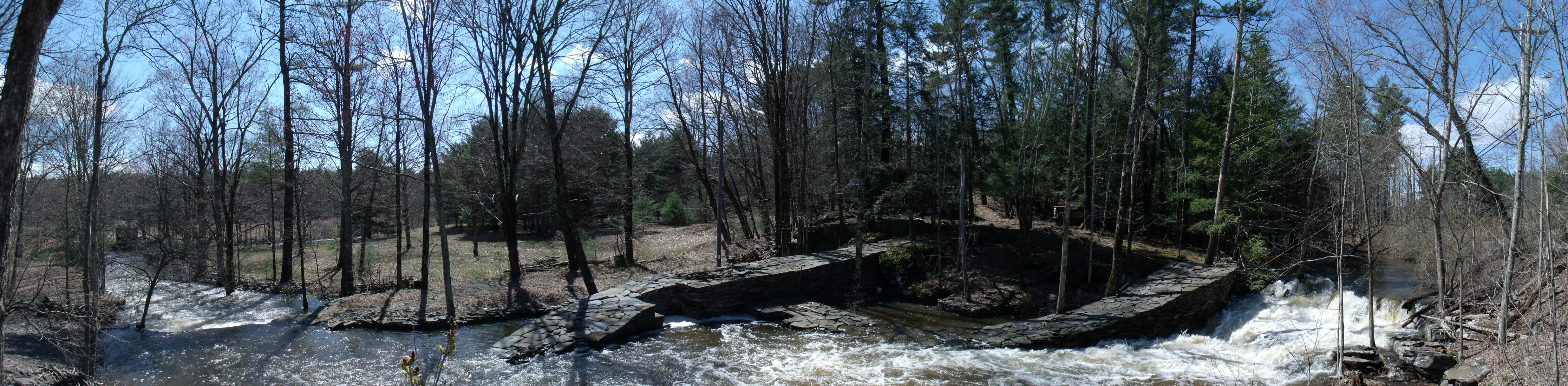
The Great Knot, April 27, 2011


Michael Sullivan Smith, 2015
Click on animation to open parent web site greatknot.com in new browser window